October 2014
How Planning Controls how the Yonge North Corridor Develops
 Jennifer Keesmaat is Chief Planner & Executive Director of Toronto’s Planning Department.
Ms. Keesmaat spoke with Yonge-Sheppard Condominium News about the city planning process. She also shared with us some insight as to how the Yonge North Corridor is likely to evolve.
An important part of what the Planning Department does is advise City Council as to how the city should grow. In developing its recommendations, the Planning Department engages in public consultation with residents near where development is proposed.
The Planning Department seeks to engage the public. This is done through public consultations, distribution of printed material, online resources, temporary information tents throughout the city and various reports. Each posted sign about a proposed development includes a contact name and phone number. This all serves to solicit public input, identify priorities and make recommendations to City Council.
The Planning Department encourages residents to ask questions about planning issues or specific developments. They recognize that the fast growth which exists in the Yonge North Corridor presents communication challenges with interest groups about what the city will look like in the future.
Yonge North Corridor development is governed by specific documents and past decisions about where growth is to occur.
Growth Plan for Toronto
The Growth Plan for the Greater Golden Horseshoe, 2006 identifies 25 existing or emerging downtown areas as urban growth centres. It establishes policies and density targets to encourage their revitalization as vibrant, transit-oriented nodes. This includes 4 areas in Toronto, one of which is North York Centre (Yonge North Corridor).
Within each area, minimum population densities are identified. Development in these areas is designed to accommodate planned density.
Official Plan for Toronto
The Official Plan sets out the vision for where and how Toronto will grow to the year 2031.
North York Secondary Plan
The North York Secondary Plan is a detailed Official Plan specific to North York Centre. It is a blueprint for directing growth in the area. The North York Secondary Plan, which divides North York Centre into North York Centre North and North York Centre South, establishes development policies for each area. The south portion extends from Highway 401 to north of Finch Ave. The north portion extends to Steeles Ave. This plan identifies areas for cultural, government and open space. It identifies retention, replacement and/or creation of existing institutional, cultural, entertainment and recreational facilities. Finally, it establishes densities and height restrictions consistent with the Growth Plan.
The Secondary Plan directs growth and regulates building heights. Generally speaking, areas near subway stations have higher density and height restrictions. This allows growth to be directed away from single family neighbourhoods.
Developments within North York Centre must fall within the restrictions of the North York Secondary Plan. Alternatively, an application for amendment to the plan is submitted by a developer or the Planning Department. Once submitted, residents have opportunities to oppose an amendment but must do so based on the Secondary Plan. Opposition works best when coordinated through a central community group which can work with the Planning Department to better understand the request and identify points of contention. Amendments, if approved by City Council, are based on information submitted by the Planning Department which in their opinion supports the amendment.
Proposed Secondary Plan amendments are circulated to all interest groups including those responsible for hydro, water, roads, transit, schools, hospitals and parks. All are encouraged to identify limitations and restrictions prior to an amendment to the Secondary Plan.
The North York Secondary Plan is a dynamic document. Changes are made to the document when a better way to achieve a goal is identified.
High Density Areas
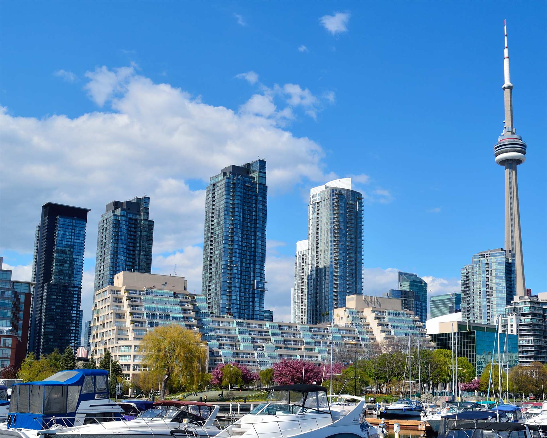
The Yonge North Corridor has been designated as a High Density Area. It is along a subway line with easy access to a major highway and abundant transit. This existing infrastructure is deemed capable of handling higher population density than most areas.
The High Density designation does not imply that all aspects of infrastructure are in place to accommodate the density. For example, the Yonge North Corridor has a shortage of area parks. Recent announcements regarding parkland are intended to address this need.
Transit
The Planning Department has recommended 24 rapid transit projects. At this time five of the projects are funded and under development. This includes Sheppard East Light Rail Transit (LRT) which will run from Scarborough to the Don Mills subway station where it will meet up with the current Sheppard Subway.
Rapid transit projects that have been recommended but remain unfunded by City Council include Sheppard West Corridor subway extension (Yonge St. to Downsview Station), Finch West LRT (Yonge St. to the new subway station near York University) and Steeles Ave. LRT.
For North York, Secondary Plan development is about 70% complete. Larger sites have already been developed. In the coming years development is likely to slow down but not stop.
The objective of the North York Secondary Plan is to create a walkable community. In this respect the Yonge North Corridor remains in a state of evolution. By community standards the area is incomplete and requires time to mature. Small sites within the community need to be developed. As this happens the community should become less sterile and more interesting.