November 2014
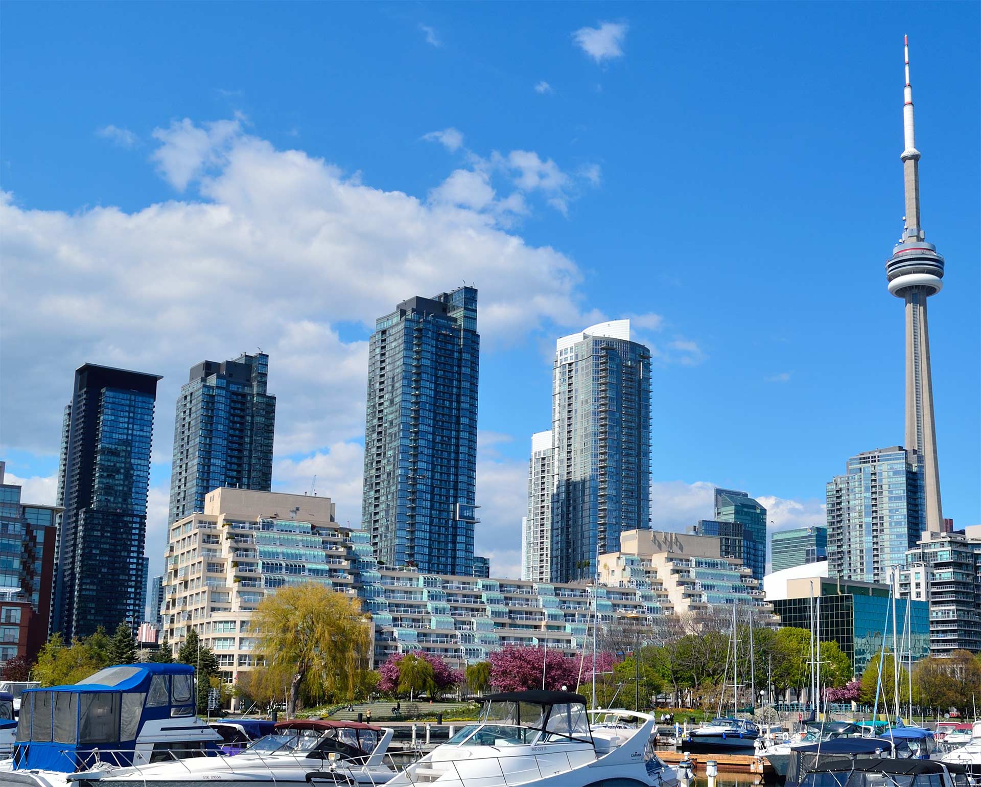
Yonge North Corridor – A Planned Community
Allen Appleby is Director of North York District Community Planning. Paul Byrne is Manager for Community Planning. Both sat down with Yonge-Sheppard Condominium News to explain the local planning process and what the future holds for the Yonge North Corridor.
Communities where people want to live and work are not accidental. They require years of planning and consultation. Today’s Yonge North Corridor is the result of 40 years of effective planning and growth management. What is planned for in the coming years is the result of past plans and what has been learned as the community develops.
The Planning Department exists to manage growth and change. There are three components to their work: Conducting area studies which includes studies on traffic volumes, pedestrian traffic and infrastructure limits; Processing applications for development which involves ensuring that each submitted application meets objectives identified in the North York Centre Secondary Plan; and public consultations incorporating public input with regard to specific site developments.
Public input is an integral part of planning division information gathering. One example of Planning Division consultations and how they impact on development applications is a 2013 meeting about the proposed Pearl II Condominiums. Local residents attending this meeting had concerns about trash storage and roadway access to Spring Garden Ave. These concerns were then considered as part of the application approval process. Consequently, the approved application incorporated changes to the access laneway and trash storage.
North York Centre Secondary Plan
The North York Centre Secondary Plan is the guide for all development in the Yonge North Corridor and is reviewed every five years. This review includes a public meeting where the plan can be reassessed and changes can be considered.
Recent amendments to the North York Centre Secondary Plan include;
- An amendment to increase parkland. The original plan had parkland relegated to fringe areas of the community. It has been recognized that parkland is needed nearer to the centre of the community.
- New residential buildings with at least 200 units must now include at least 20 bicycle parking spaces on the ground level. Locating them on lower parking levels has been problematic for residents.
Each development application must comply with the policies in the North York Centre Secondary Plan. Alternatively, developers may request an amendment to the North York Centre Secondary Plan. Amendments may be approved if the Planning Division recommends that the amendment presents an alternate or improved way of achieving goals in the plan.
Existing Development
Yonge North Corridor development along Yonge St. is primarily composed of high-rise buildings for commercial and mixed uses. It is common to find retail businesses on the ground floor, commercial use properties just above the retail, and residential properties comprising the remainder of a building.
High-rise buildings situated off Yonge St. are virtually all residential properties.
One of the challenges that the Planning Division deals with is limiting what is called the Wind Tunnel Effect. When tall buildings exist along both sides of a street the area may experience strong winds. The Planning Division strives to prevent this from occurring by requiring high-rise buildings to be built with a wide base and a narrower tower. The tower portion is set back from Yonge St. and the base serves as a wind break. Other initiatives to protect against wind include permanent canopies such as those above Baton Rouge and Tim Horton on the west side of Yonge St. south of the Toronto Centre for the Arts.
Capacity Limits to Growth
Each development application is circulated to all groups that provide services to the area. This includes electricity (hydro), water, schools, gas, roads and transit. At this time there are no bottlenecks to further growth from any of these services except for schools. The school board remains challenged in locating or expanding schools to accommodate growth in the Yonge North Corridor.
Future Development
The majority of Yonge North Corridor development has occurred along Doris Ave. and Beecroft Ave. This has resulted in a narrow strip of small retail along Yonge St. Development in these areas will require that a developer assemble multiple small properties for use as part of a larger development. It is likely that developers will soon consider these Yonge St. properties. Examples of areas for potential future development include Restaurant Row – the cluster of restaurants on the west side of Yonge St. and north of Sheppard Ave. Another is across the street in the block with M2M Asian Grocery Store. More properties exist north of Empress Ave. Most properties are individually owned and populated by small retail businesses.
Over the next five to ten years, the Yonge North Corridor is likely to benefit from an improved streetscape. This may include wider sidewalks, flowers, art work and other efforts to make the area more enticing for pedestrians.
Road Development
Roads are managed by Transportation Services. Transportation Services is responsible for all aspects of Toronto’s transportation network from streets, bridges, traffic, street signs and traffic signals to sidewalks and street furniture. Click here for more information about Transportation Services.
Changes to existing roadways in the Yonge North Corridor are often impractical until new development has been built. Most of the necessary land is provided by developers through their development applications. This allows the City to keep costs down and to avoid expropriation of land which is an inconvenience, at best, for property owners.
The single local road problem not currently being evaluated is Avondale Ave. which will eventually be expanded to five lanes. Current traffic problems in this area are considered to be of a short term nature.
Highway 401 Interchange
The current Stage One review of creating a new Highway 401 Eastbound onramp is a Transportation Services initiative. This review, expected to be complete in March 2015, is to determine if any of the proposed solutions are feasible from an engineering perspective. The next stage would be an Environmental Assessment.
An Environmental Assessment serves to determine and manage the potential effects of a project prior to implementation. It ensures that public concerns are heard. Its goal is to balance economic, social, cultural and natural environmental needs.